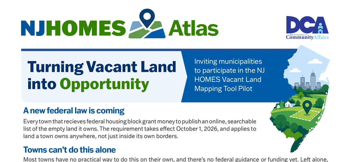
Statewide map of roughly 42,000 municipally owned vacant parcels, built from State property records so CDBG grantees can publish the vacant land inventory federal law now requires of them, at no cost.
~42,000
Vacant Parcels Mapped
affordable housingGISproperty recordspublic service
A Certified Public Manager capstone project: consolidating thirteen siloed phone queues in New Jersey's largest housing division with one purpose-built contact center and a service scorecard that measures what residents experience.
13 to 1
Queues consolidated
Amazon ConnectGovernment InnovationCustomer ServiceCertified Public Manager
Web platform making 6,740+ NJ Civil Service job specifications searchable and accessible for job seekers, HR professionals, and hiring managers.
workforce modernizationgovernmentcivic techReact
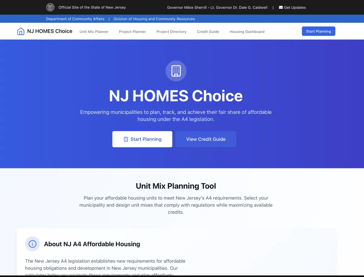
Interactive planning tool implementing A4/S50 affordable housing calculations for all 564 municipalities, now extended by the NJHOMES Atlas statewide vacant land inventory.
affordable housingplanning toolcompliancepublic service
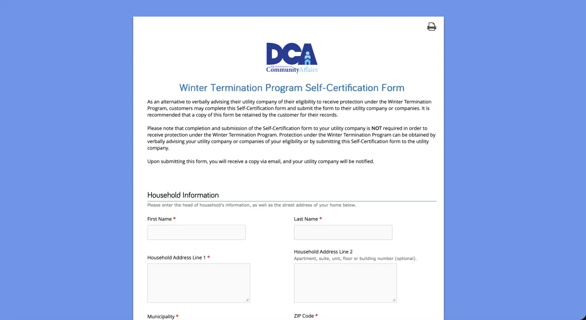
Digital transformation of New Jersey's utility shutoff protection self-certification process, replacing a manual PDF with an accessible electronic form.
Digital TransformationGovernment ServicesAccessibilityProcess Automation

Interactive self-help tool connecting New Jersey's most vulnerable residents directly to housing assistance and legal resources.
Next.jsReactTypeScriptPublic Service

Statewide digital infrastructure supporting New Jersey's initiative to end veteran homelessness: data systems, electronic referrals, and public website development.
Government ServicesData InfrastructureWeb DevelopmentVeterans
Statewide compliance platform capturing residential lead-paint inspection data for all 564 New Jersey municipalities.
Data CollectionComplianceGISpublic health
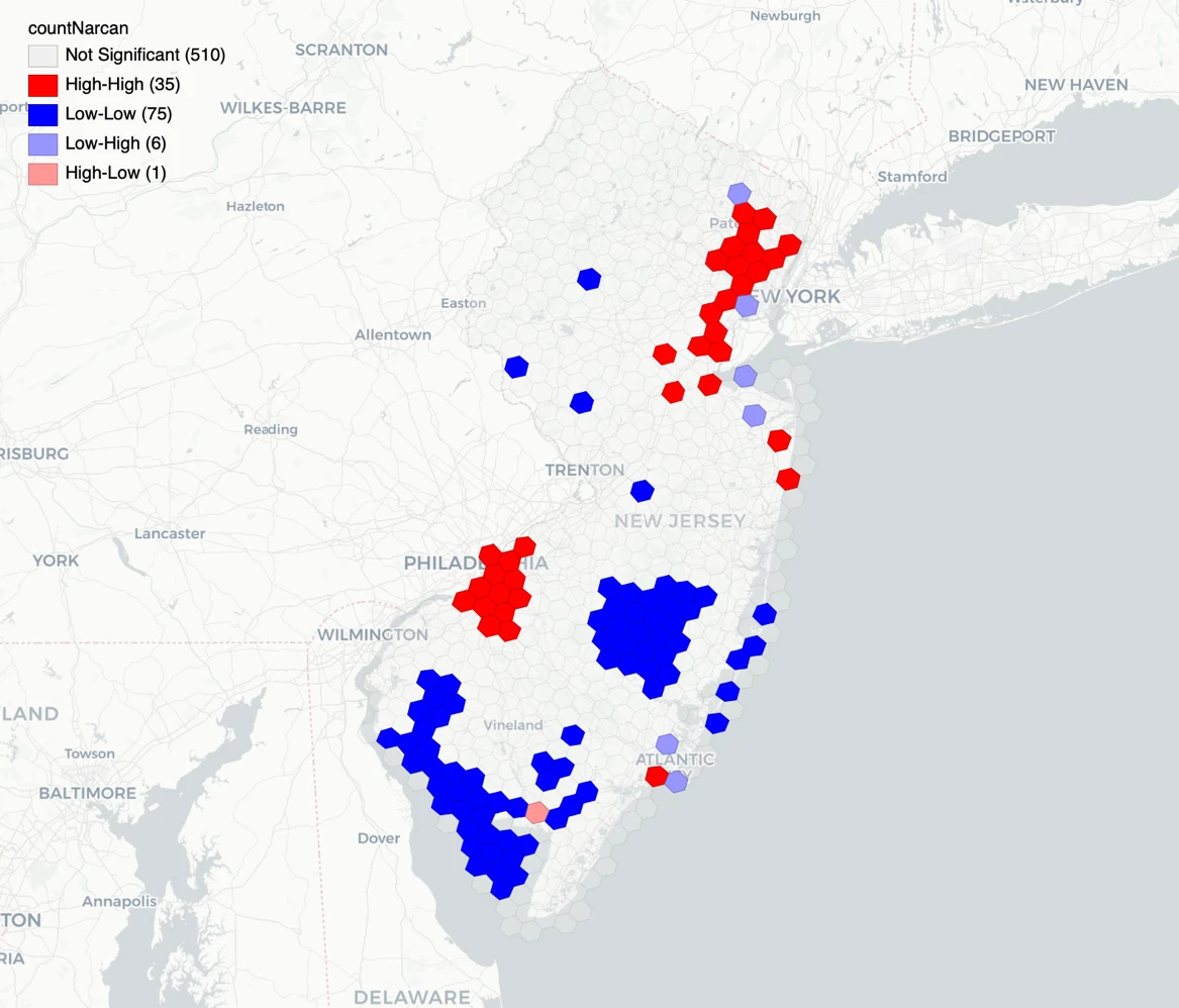
Grant-funded spatial analysis identifying opioid overdose hotspots across New Jersey using state administrative data and advanced geospatial methods, conducted as a Research Affiliate at Rutgers.
Spatial AnalysisGISPublic HealthOpioid Crisis
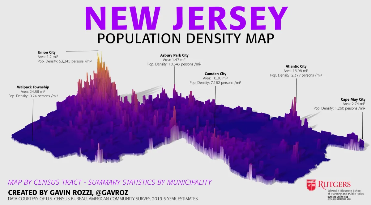
Award-winning 3D visualization of New Jersey population density using rayshader, winning First Place in the 3D category at the NJ DEP GIS Mapmaking Contest.
Best Cartographic Design
Recognition
data visualizationRGISrayshader
An R package for geocoding addresses using New Jersey's official geocoding service, freely available as an alternative to commercial solutions.
Ropen sourcegeospatialGIS

An R package that makes it easy to download and analyze New Jersey motor vehicle crash data for transportation research and safety analysis.
Ropen sourcetransportationdata science
A modern Progressive Web App making New Jersey legislative data accessible and searchable, with ZIP code-based legislator lookup.
civic techtransparencyJavaScriptR
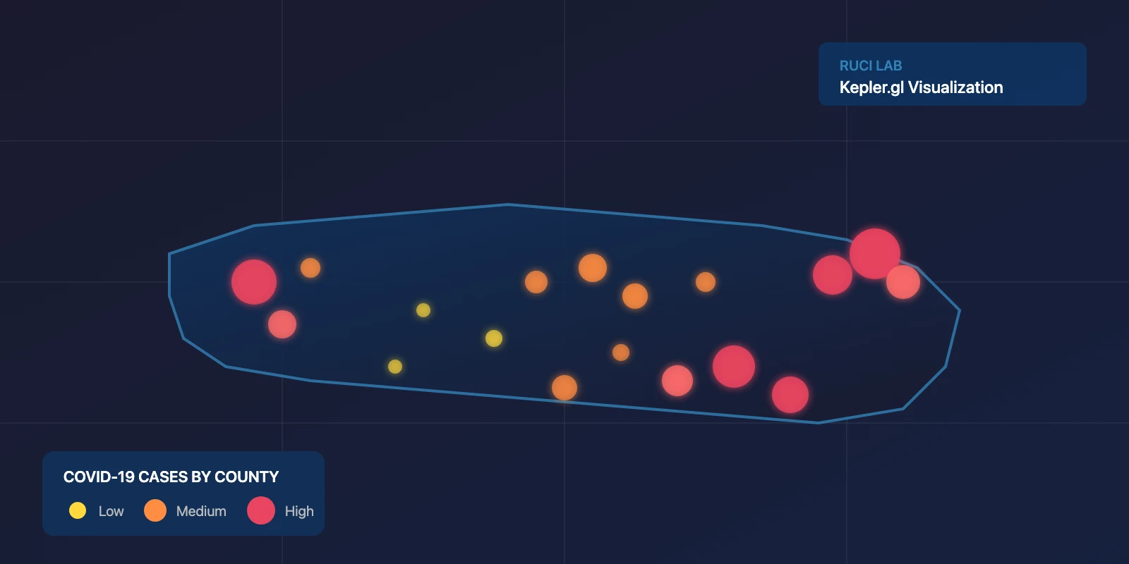
Interactive web-based visualization tracking the spread of COVID-19 across U.S. counties using advanced GIS technologies and real-time data processing.
GISdata visualizationpublic healthweb mapping
An interactive dashboard tracking opioid overdose interventions across New Jersey through law enforcement Narcan deployment data.
public healthdata visualizationRShiny

An R package with 53+ peer-reviewed citations (as of March 2026) including Nature Communications, Cancer Discovery, and MIS Quarterly, enabling breakthrough research in public health, epidemiology, and environmental science.
53+
Citations (as of Mar 2026)
Ropen sourcegeospatialdata science

New Jersey's first statewide freedom of information platform, which I built and ran from 2017 to 2024. It processed over 75,000 public records requests and released 250GB of government data.
75,000+
Requests Processed
civic techgovernment transparencypublic recordsOPRA