Making Data Tell Stories: Visualization for Public Policy
How effective data visualization can transform complex policy issues into actionable insights for decision-makers and the public
Read full article How effective data visualization can transform complex policy issues into actionable insights for decision-makers and the public
Read full article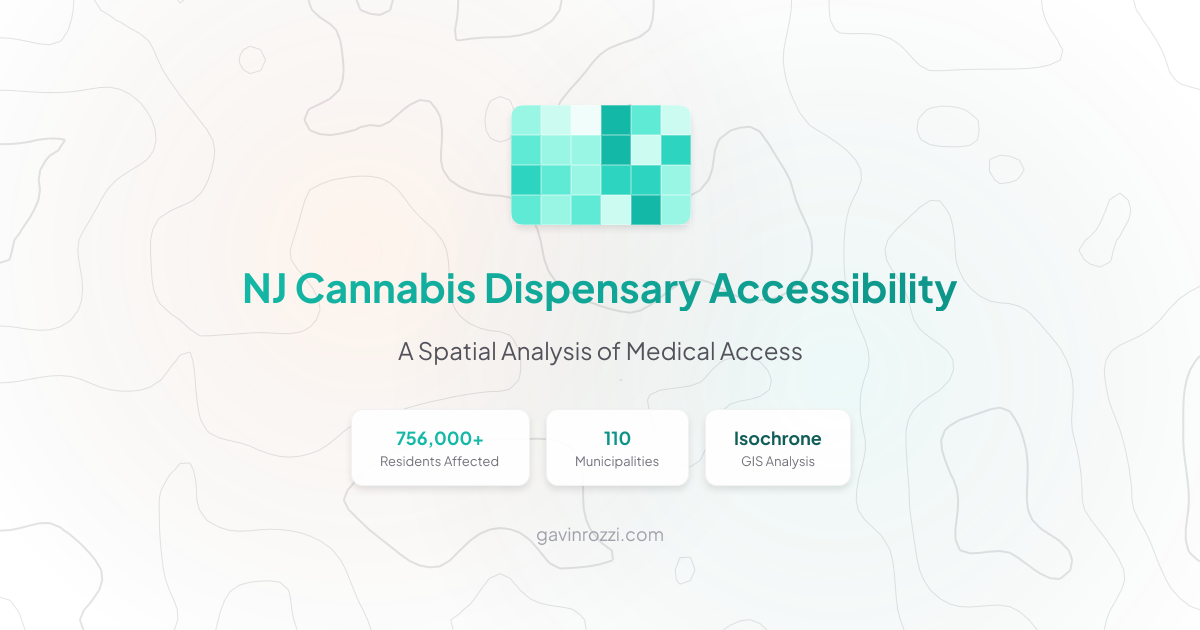
An isochrone-based GIS analysis revealing that over 756,000 New Jerseyans in 110 municipalities face 30+ minute drives to the nearest medical cannabis dispensary.
Read full article
Using New Jersey's official state geocoding service just got easier! This post introduces njgeo, a new R package that simplifies working with New Jersey-specific spatial datasets.
Read full article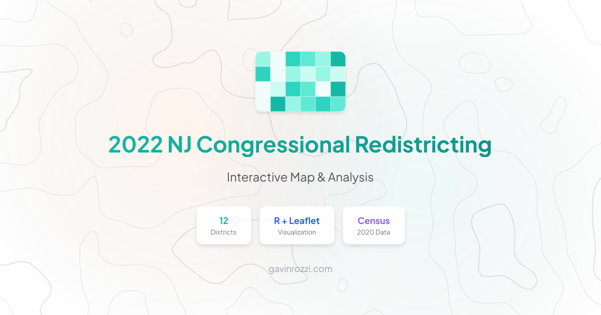
An analysis and visualization of New Jersey's new congressional districts adopted by the Redistricting Commission, created using R and Leaflet.
Read full article
Introducing zipcodeR, an R package that makes it easy to work with ZIP code-level data in spatial analysis and demographics research
Read full article
A review of the new features in zipcodeR v0.2, including congressional district lookups, FIPS code searches, and community-contributed improvements.
Read full article
A data visualization project using Python, GeoPandas, and matplotlib to create an animated GIF showing Indego bike sharing usage patterns across Philadelphia from 2015-2019.
Read full articleSubscribe to the RSS feed to get notified when new articles are published.
Subscribe via RSS